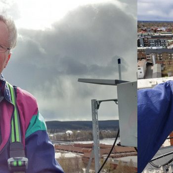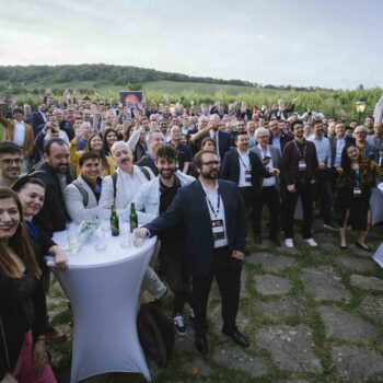


We wanted to use open data in our platform and were told that Skellefteå municipality published air quality measurements as open data. However, it turned out that the data was published a year late, which did not make it all that interesting.
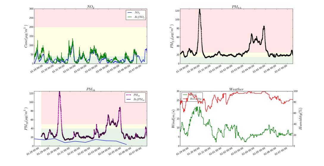
Our partner Data Ductus therefore produced an air quality sensor that we deployed in a few places in Skellefteå and Lycksele. It measures the particle content and nitrogen dioxide content in the air.
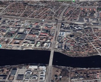
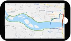
 We have since discussed using it to be able to change the regulation of the traffic lights on the E4 when the air quality at the E4/Kanalgatan intersection is bad, i.e. to slow down incoming traffic north and south of town and let outgoing traffic pass faster, all to get fewer vehicles in the city center.
 Furthermore, we have discussed with TomTom regarding the possibility of delivering data to their GPS navigators in order to direct the traffic to other roads in poor air quality.
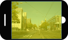

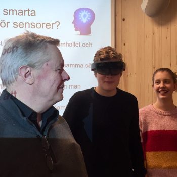
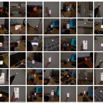
We also produced an app where the air quality was displayed as a
fog in different colors if you looked at the city through the phone.
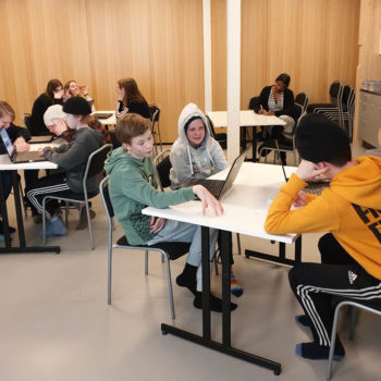
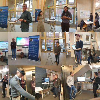
At one of our hackathons, one of the student groups also developed an app that showed the way to a destination, where you were given different options depending on whether you prioritized a short distance or good air quality.

We also created a 3D presentation in Microsoft Hololens with times of the day in one dimension and dates in another where you could step into the diagrams and look in different dimensions.